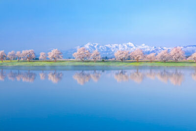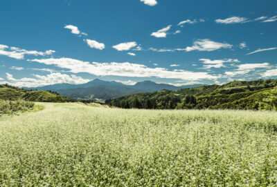
高原のソバ畑
2025.04.16
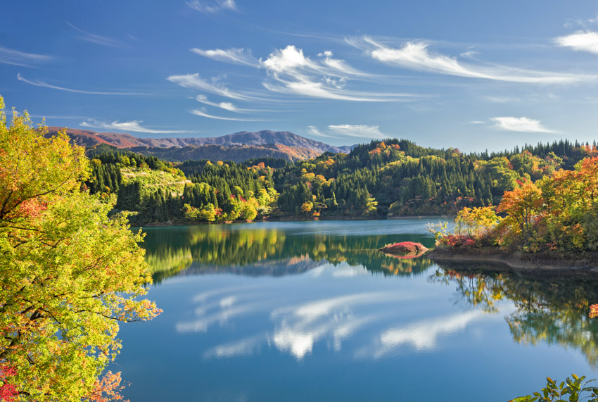
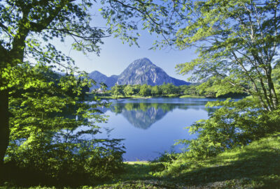
標高500メートルに位置する坊ヶ池は、一周約1700メートルの美しい池です。快晴の空には爽やかな高層雲が広がり、晩秋の乾いた空気が肌に心地よく感じられます。隣接する長野県の同じような場所と比べると、素晴らしいロケーションにもかかわらず、訪れる人は少ないようです。
新潟県内にはアクセスしにくい場所も多いですが、自然を満喫できるスポットがまだまだたくさんあります。池の背後にそびえる稜線は長野県との県境であり、信越トレイルの一部でもある関田山脈です。坊ヶ池は頚城平野のため池の中でも規模が大きく、水深33メートルは新潟県内の自然湖で最も深いとも言われています。平成22年には「全国ため池100選」にも選ばれました。
Located at an altitude of 500 meters, Bogaike Pond is a beautiful pond with a circumference of approximately 1,700 meters. The clear sky is filled with fresh high clouds, and the dry late autumn air feels pleasant on the skin. Compared to similar locations in neighboring Nagano Prefecture, few people seem to visit this pond, despite its wonderful location.
Although many places in Niigata Prefecture are inaccessible, there are still many places where visitors can enjoy nature to the fullest. The ridgeline rising behind the pond is the Sekita mountain range, which borders Nagano Prefecture and is part of the Shinetsu Trail. Bogaike Pond is one of the largest reservoirs in the Kubiki Plain, and at 33 meters deep, it is said to be the deepest natural lake in Niigata Prefecture. In 2010, it was selected as one of the 100 best reservoirs in Japan.
EOS5DMarkⅣ 44mm 1/100秒 f:8
©️photo by Nakamura Osamu