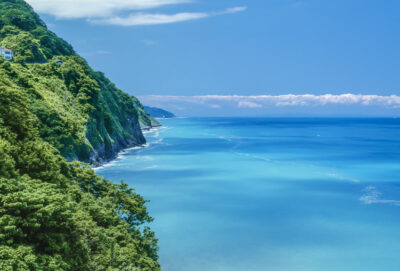
青山海岸
2025.06.22
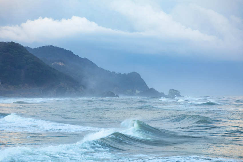
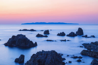
冬と春が時々入れ替わる3月の冷え込んだ朝。まだ冬の名残りの間瀬海岸には西寄りの風に乗った雲と波が打ち寄せます。ここは海底の地形のおかげか綺麗な形の波が発生することが多い。弥彦山の山体が迫っていることも理由のひとつかもしれません。科学的な裏付けがあるわけではありませんが、波の形は陸側の地形の影響も受けるのは各地を回っていての経験から感じることです。
また、冬に新潟市周辺の積雪が少ないのは、佐渡島が日本海からの湿った風を遮る「天然の防波堤」となっているためだと気象学者は指摘します。同様に弥彦山も、風下側の気象に微妙な変化をもたらしています。
風景は、気象や空気の流れや水などの流体にも影響を及ぼしていて、その土地の風景や景観は気象とも密接な関連性があるので、その土地ならではの現象を合わせて記録できるのが風景写真の要諦なのだと思います。
It is a cold morning in March, when winter and spring sometimes switch places. Clouds and waves on the Maze Coast, still in the remnants of winter, are lapped by westerly winds. Thanks to the topography of the sea bottom here, beautifully shaped waves are often generated. One reason may be the looming mountain body of Mt. Yahiko. Although there is no scientific evidence to back this up, it is my experience from traveling around the area that the shape of the waves is also influenced by the topography of the land side.
Meteorologists also point out that the reason there is little snow around Niigata City in winter is because Sado Island acts as a “natural breakwater” to block the moist winds from the Sea of Japan. Similarly, Mt. Yahiko brings subtle changes to the weather on the leeward side.
Landscapes are also influenced by weather, air flow, water, and other fluids. Since local landscapes and scenery are closely related to weather, the key to landscape photography is to be able to document the unique phenomena of a particular area together.
EOS5DMarkⅣ+95mm 1/125秒 f:5.6
©️photo by Nakamura Osamu